S2 DOCS
Maps Examples
Find an example that can help you integrate your own solution.
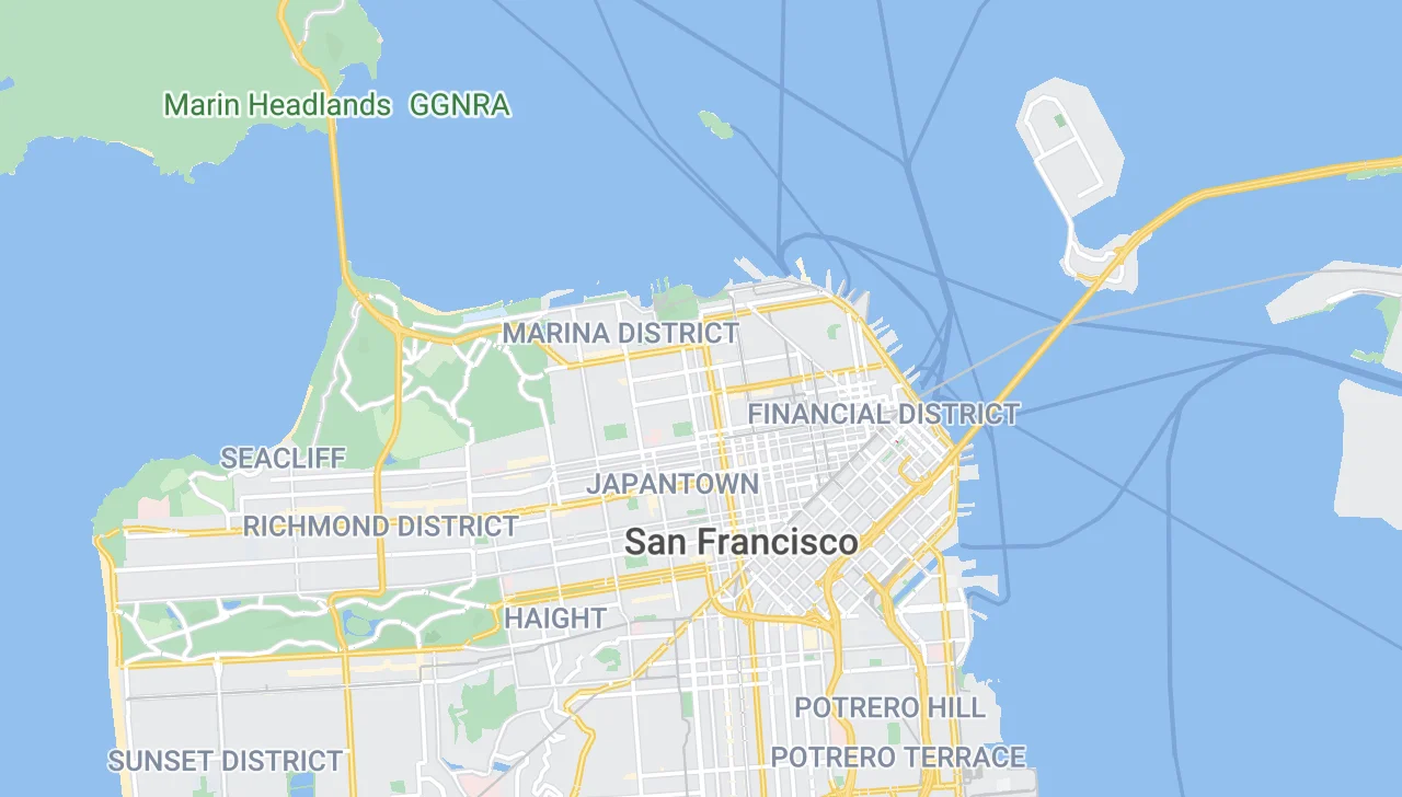
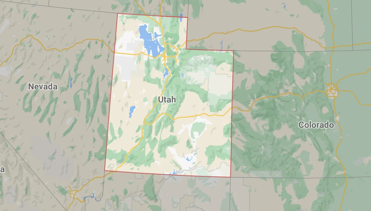
Display a Map
Initialize an S2 Maps GL object.
Effort:
S2 JSON
Import S2JSON into your project.
Effort:
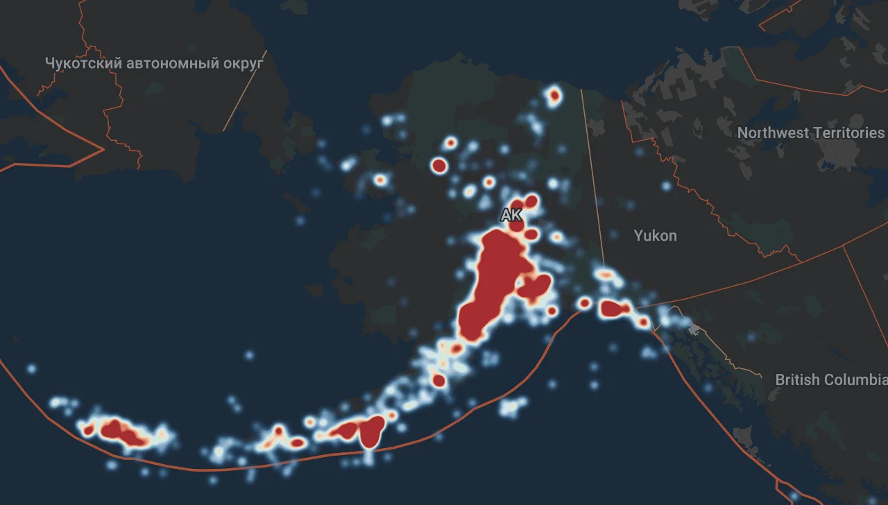
Heatmap
Use heatmaps in your project.
Effort:
Interactive Glyphs
Use interactive glyph objects.
Effort:
Invert a Layer
Invert a polygon/fill type layer.
Effort:
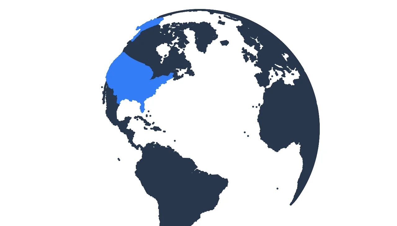
Points for Land
Land as points example.
Effort:
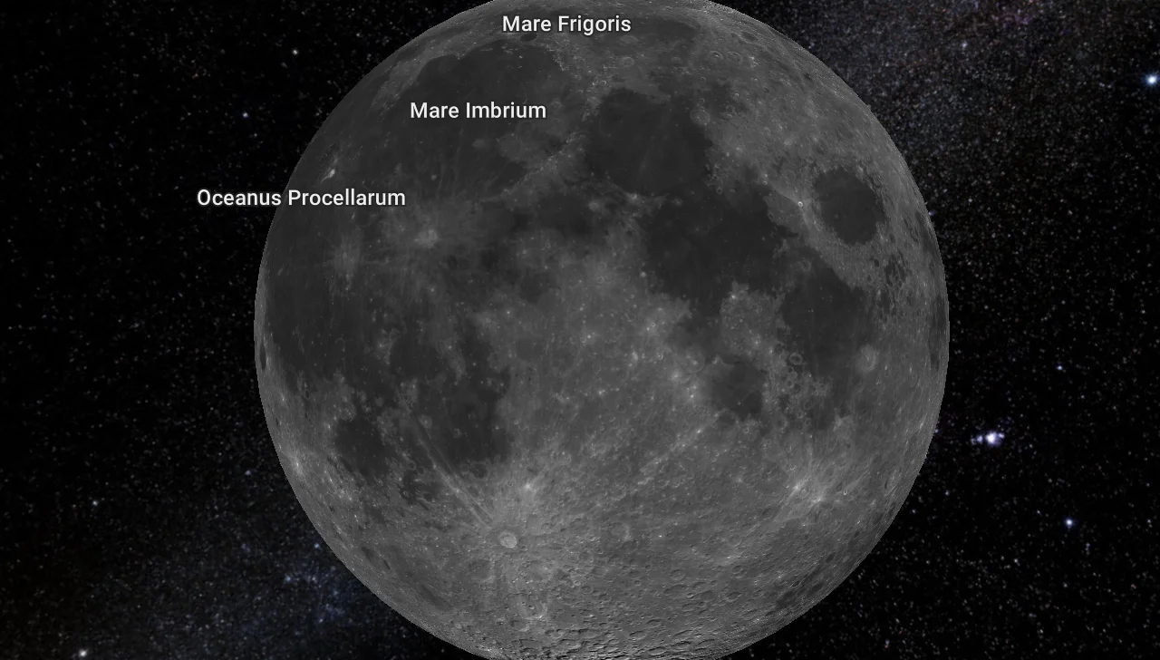
Moon data
Use a collection of moon datasets.
Effort:
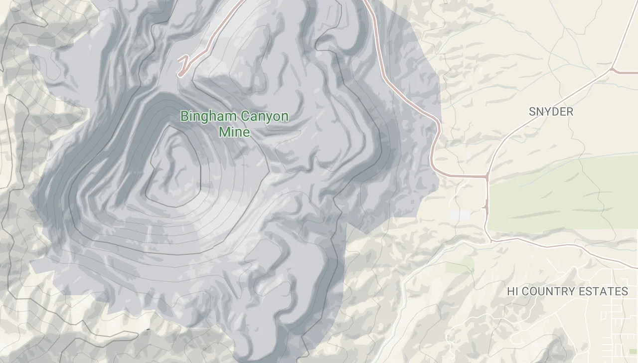
Outdoor style
Outdoor style with contours and hillshade.
Effort:
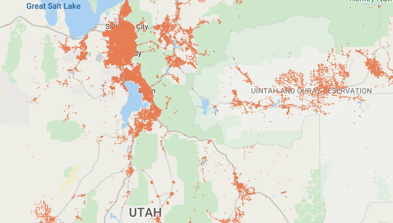
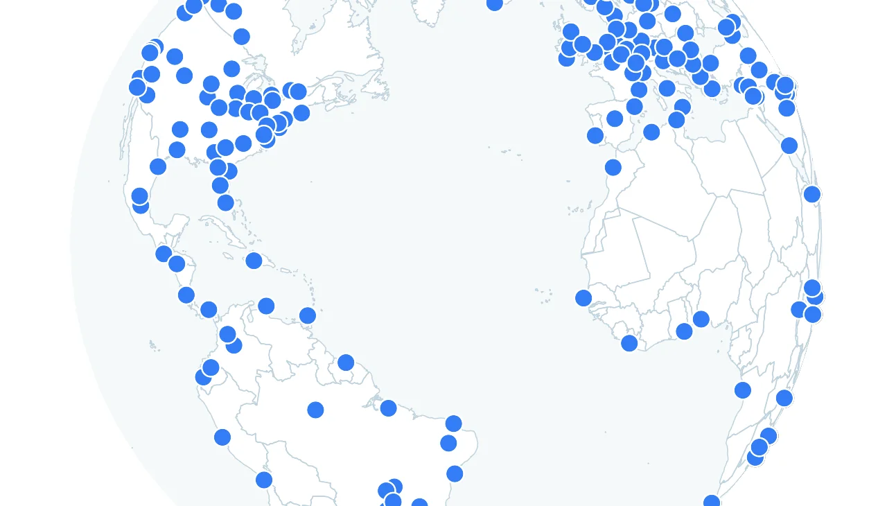
Points data
High density point data.
Effort:
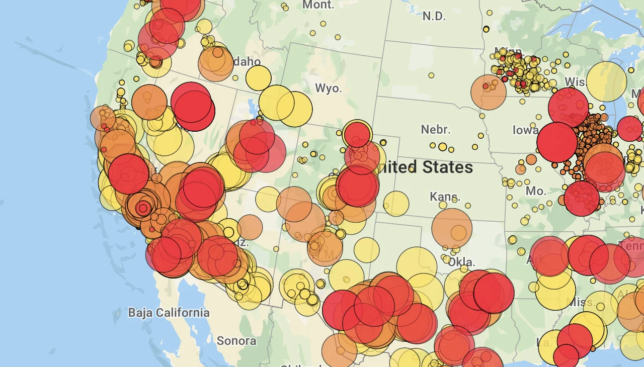
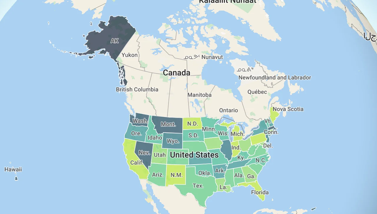
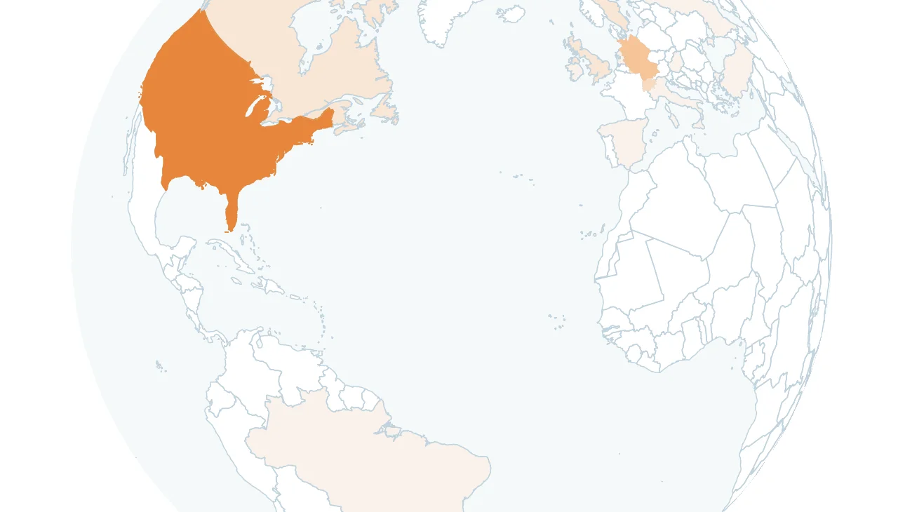
Range based dataset
Properly display size and color using data-conditions.
Effort:
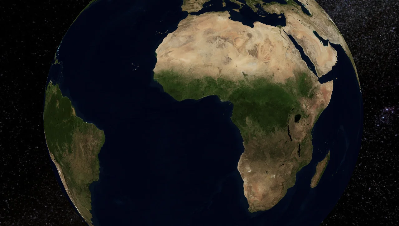
Raster
Use the raster data available.
Effort:
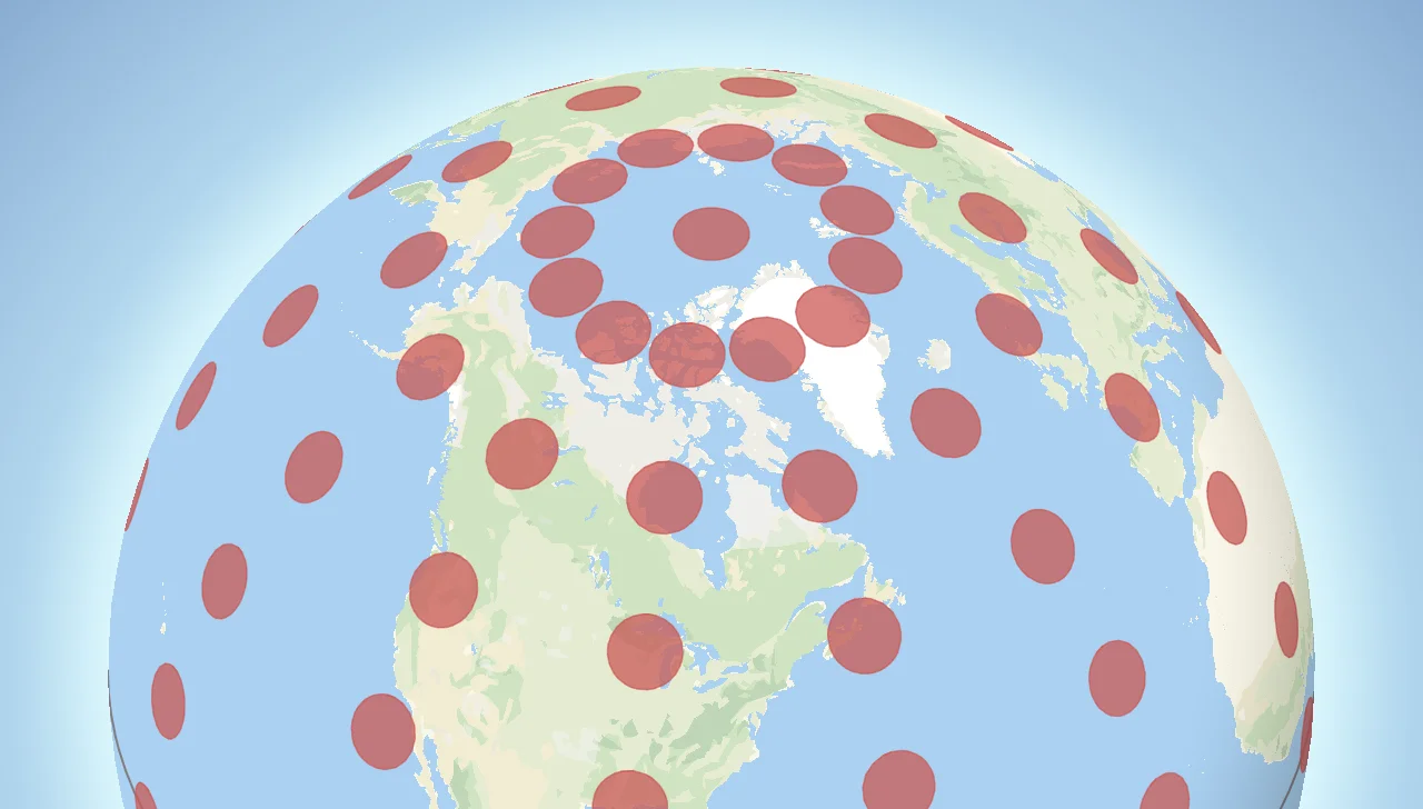
Tissots
Visualize tissots indicatrix on the S2 Maps GL engine.
Effort:
Cloudflare analytics
Interact with the map to see which countries are interacting with your site.
Effort:
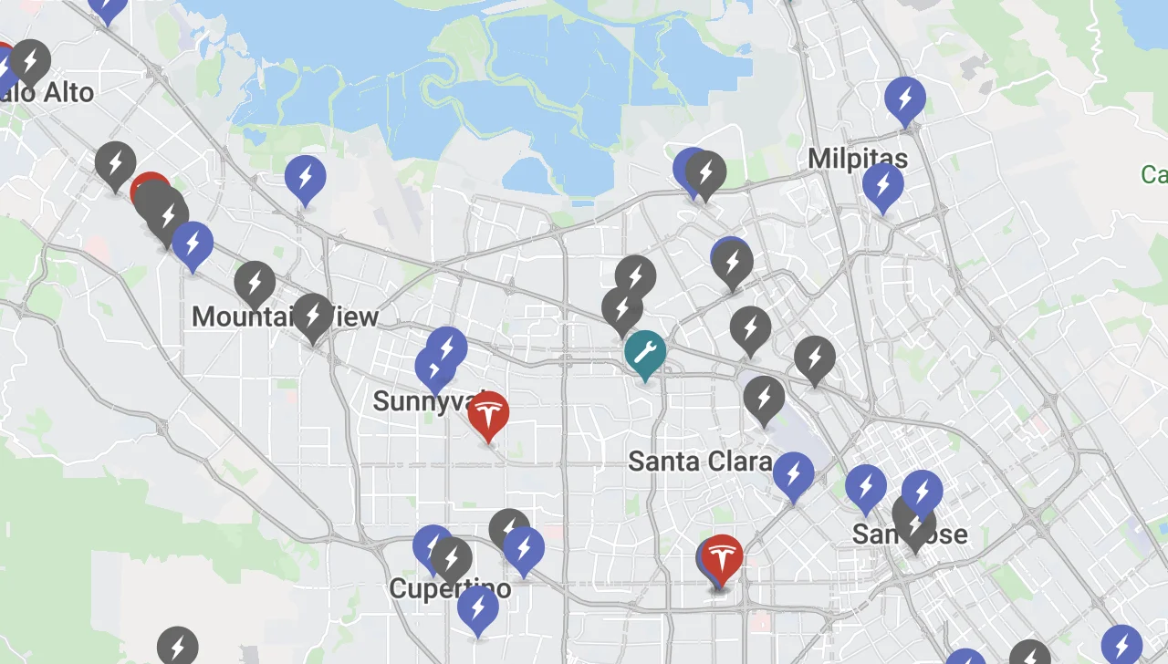
Cloudflare Nodes
Interact with active nodes.
Effort: